
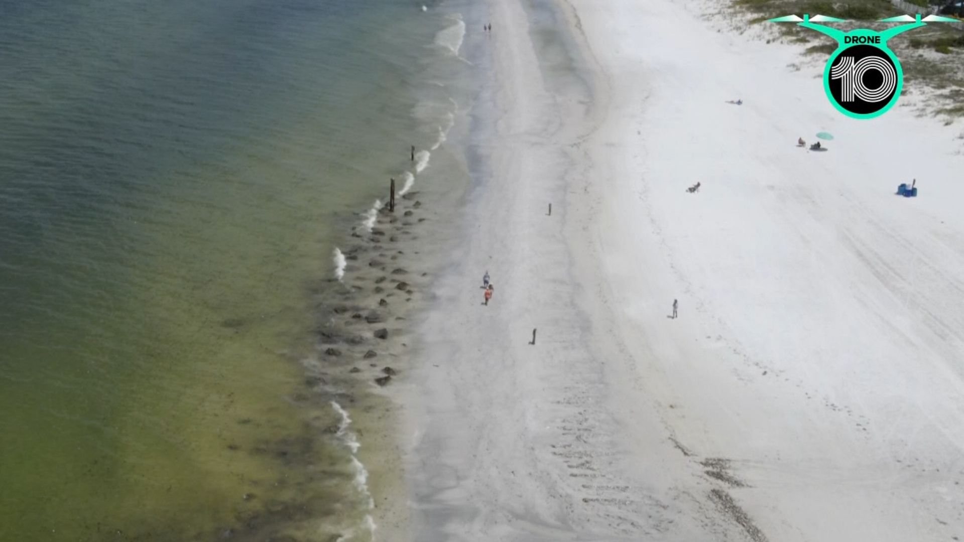
ST. PETERSBURG, Fla. — Red tide is making its presence known in the Tampa Bay area, from the dead marine life washing ashore to the irritating symptoms it causes to beachgoers.
There's yet another tool available to track the harmful algae and monitor its severity.
NOAA's National Centers for Coastal Ocean Science site features a map of southwest Florida showing the location of algae blooms and their concentrations. The redder colors on the map of satellite imagery indicate a higher level of chlorophyll fluorescence, which essentially means there's a lot of algae in the area.
The imagery picks up other types of algae, not just the organism that causes red tide, K. brevis. But it's definitely out there — the red and orange dots indicate high and medium concentrations of red tide measured in recent water samples.

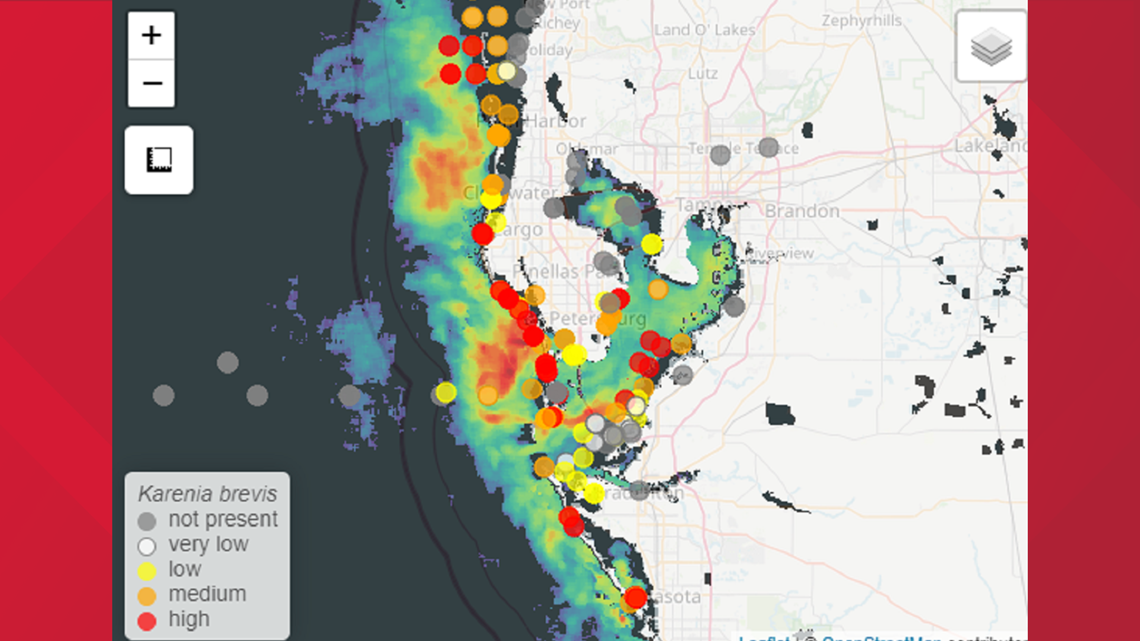
High levels of red tide can cause respiratory irritation to anyone who comes in close contact, the killing off of marine life and notable water discoloration, according to the Florida Fish and Wildlife Conservation Commission.
- Seattle Kraken take Yanni Gourde from Tampa Bay Lightning in expansion draft
- Gov. DeSantis responds to St. Pete Mayor Kriseman's criticisms: 'How did I politicize red tide?'
- Researchers say red tide is pushing sharks into Tampa Bay area canals
- Current COVID surge in Florida not due to ‘seasonal pattern’ of virus
- A Frank Conversation: New podcast explores race, religion, politics and more
►Breaking news and weather alerts: Get the free 10 Tampa Bay app
►Stay In the Know! Sign up now for the Brightside Blend Newsletter