
Tropical Storm Eta came and went through Tampa Bay pretty quickly Wednesday and Thursday, leaving behind debris and power outages.
While the clean-up continues, the National Hurricane Center is tracking another system in the Caribbean that is likely to become 2020’s latest named tropical cyclone.
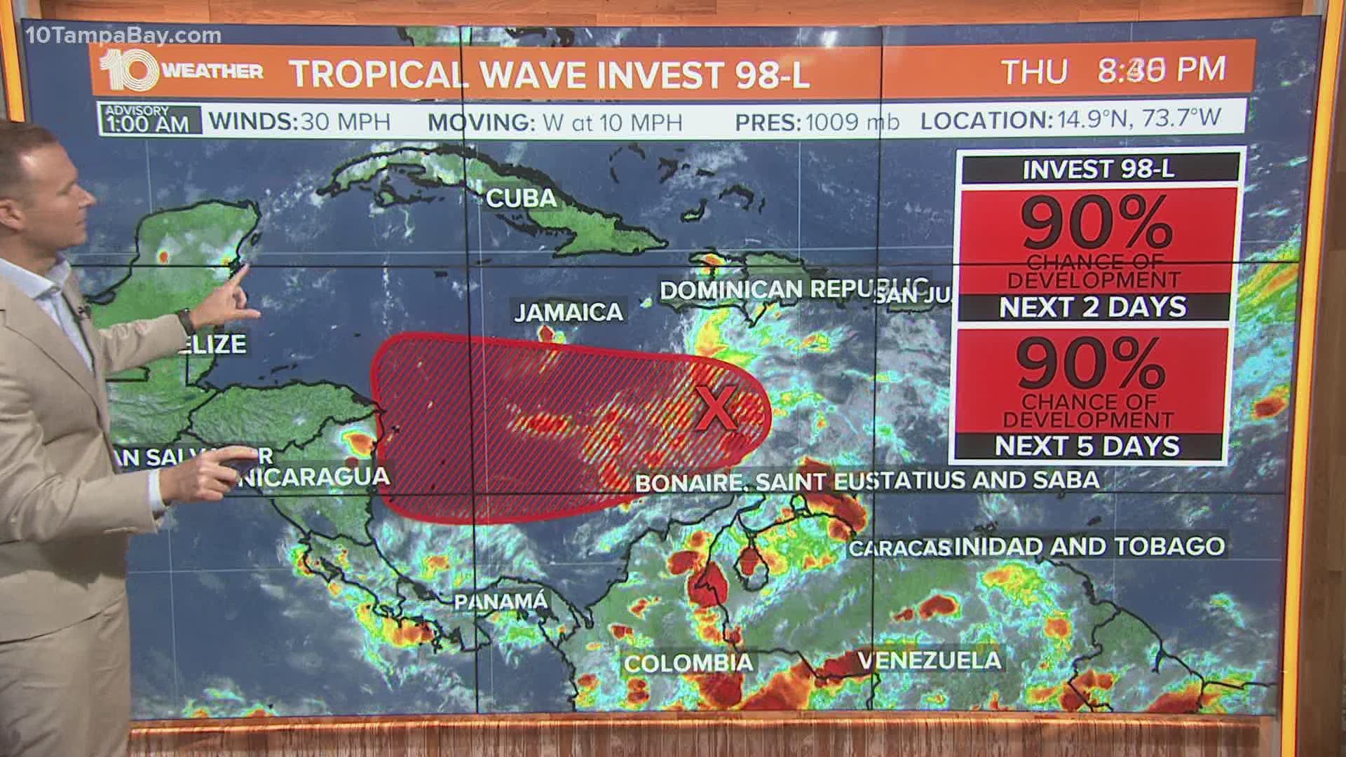
The tropical wave is located over the central Caribbean and is producing a large area of showers and thunderstorms. Satellite imagery indicates that the disturbance is gradually becoming better organized.
The tropical wave has a 90-percent chance to develop into a tropical cyclone within the next couple of days as it moves slowly westward over the central and western Caribbean Sea.
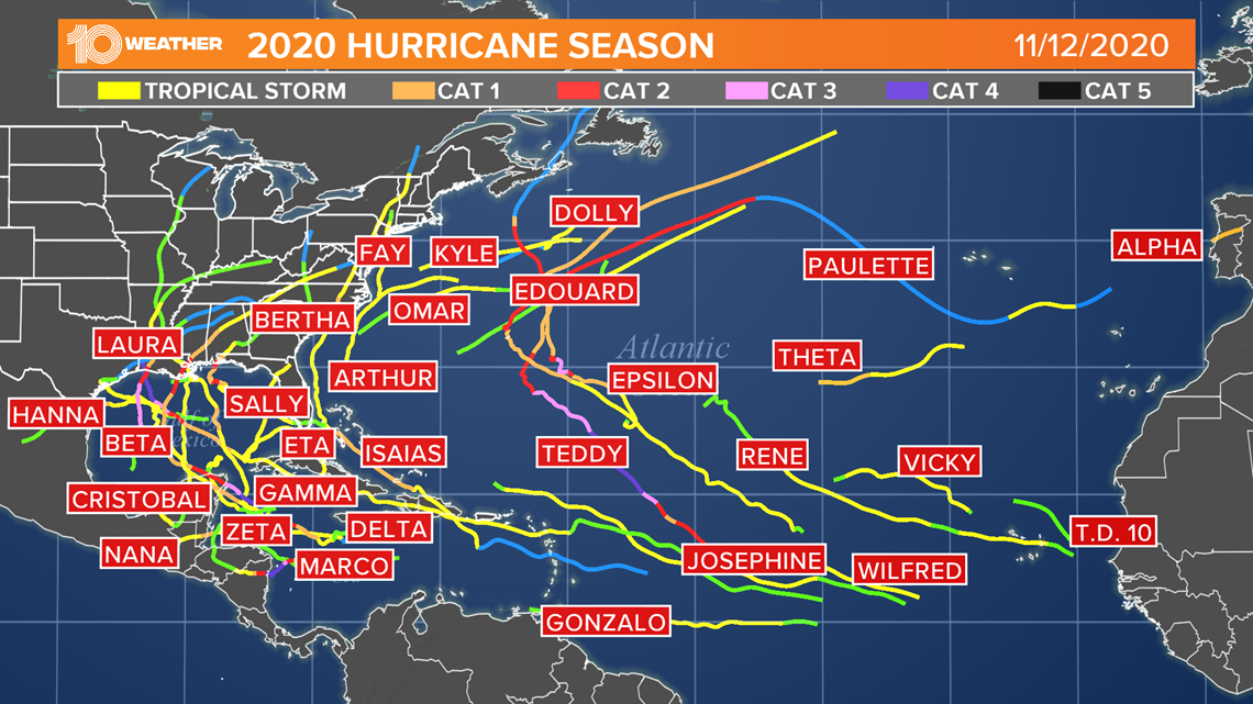
If named, the storm will be named Tropical Storm Iota. This would be the record-setting 30th named storm of the Atlantic hurricane season. Tropical Storm Theta set the all-time record of 29 named storms for the Atlantic Basin, beating the 2005 season, which had 28 named storms.
After Iota, the names Kappa and Lambda would be used next. Hurricane season ends on November 30. However, in the record-setting year of 2005, named storms continued into December.
Tropical Storm Zeta occurred between December 30 and January 6 that year.
Regardless of development, Invest 98-L is expected to bring heavy rainfall along with possible flash flooding to portions of Hispaniola over the next day or so.
Most of the early models take Invest 98-L into Central America, so at this time, it does not look like this storm will have any impact on Florida.

- Eta isn't the only storm; NHC also tracking another storm and one possible system
- Tampa Bay begins cleanup in aftermath of Tropical Storm Eta
- Florida Gov. DeSantis pushes 'anti-mob' proposal in response to protests
- 1 person dead after crews respond to report of electrocution in Bradenton Beach during Tropical Storm Eta
- Southwest Airlines coming to Sarasota-Bradenton International Airport
►Breaking news and weather alerts: Get the free 10 Tampa Bay app
►Stay In the Know! Sign up now for the Brightside Blend Newsletter