
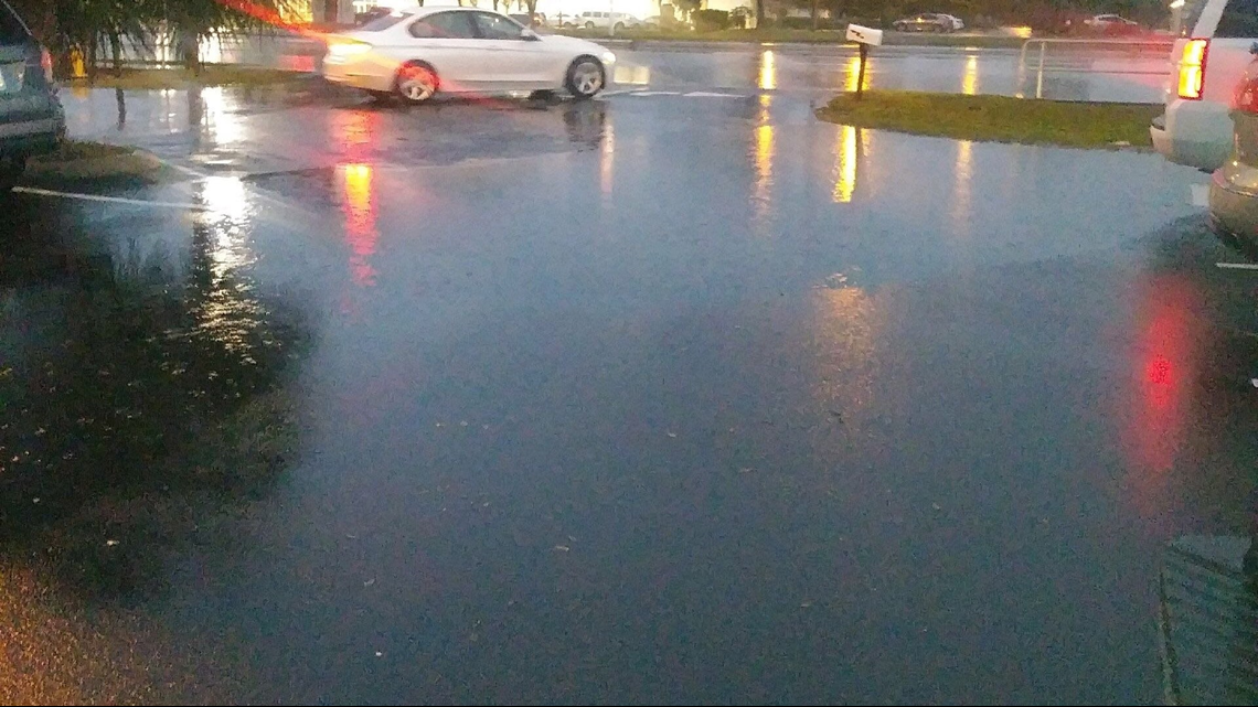
TAMPA, Fla. — A steady stream of scattered showers and isolated thunderstorms will continue to move into the Tampa Bay region.
Since early Wednesday afternoon, a line of storms associated with an approaching cold front has pushed ashore into Citrus, Pasco and Pinellas counties.
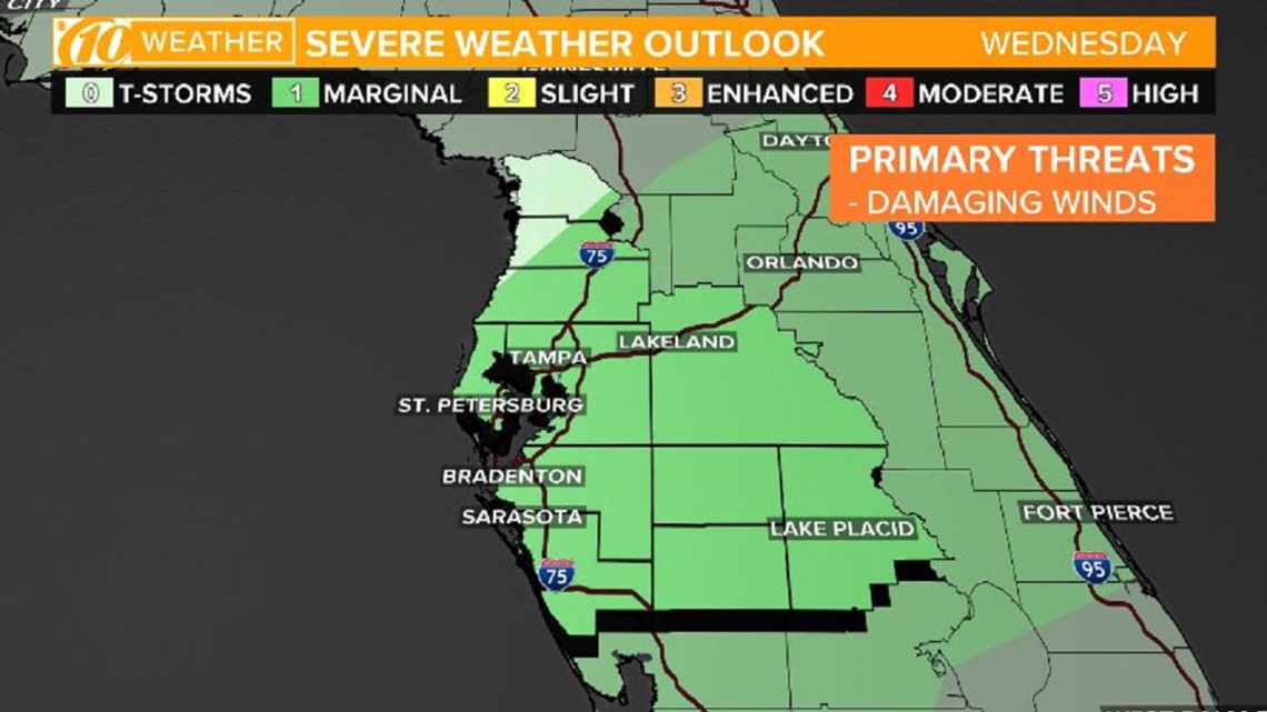
The threat of showers and embedded storms will continue into the evening and during the rush-hour commute. Widespread severe weather is not anticipated, however, much of the area is under a marginal risk of severe weather by the Storm Prediction Center -- consider it a threat level one out of five, a low risk.
Regardless, lightning and strong winds will be a threat with any storm that develops.

Much of the region just yesterday dealt with a few rounds of showers and storms. Now that the cold front is pushing closer to Tampa Bay, high up in the atmosphere, strong upper-level support across the southeast is helping to reinvigorate the precipitation.
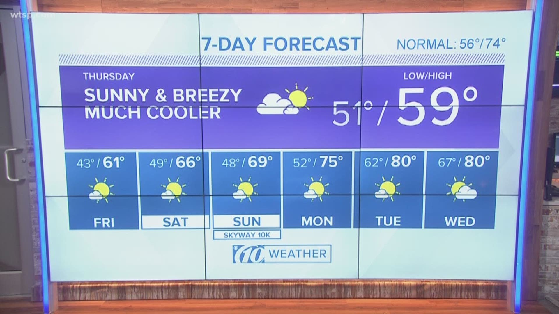
Expect lower -- way cooler! -- temperatures to swing into the area late tonight and lasting well into the weekend, with highs stuck in the 60s by Saturday.

What other people are reading right now:
- Weeki Wachee Springs named to National Register of Historic Places
- Man dies after walking in front of Polk County deputy's patrol car
- Parents say 7-year-old daughter died one minute into tonsil surgery
- Florida woman accused of zipping her boyfriend in a suitcase, where he couldn't breathe
- 'Please, give me a second chance' | 6-year-old pleads with Orlando police officer not to arrest her
- Feisty baby stares down doctors seconds after birth
- Skyway 10K guide: Everything you need to know to race
FREE 10NEWS APP:

