A slow-moving cold front is moving in from the north and pushing through Tampa Bay during the next few days.
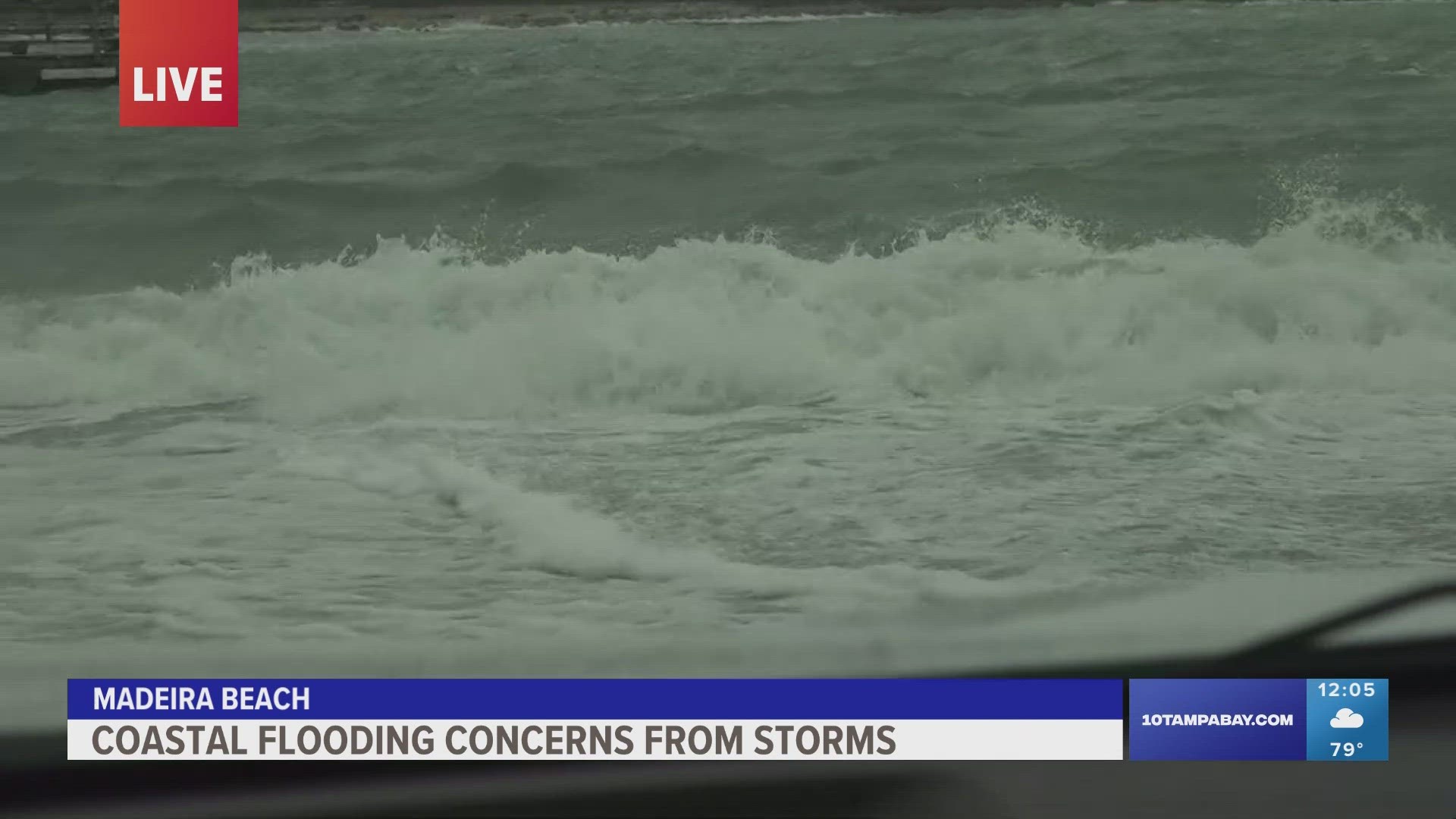
Ahead of the frontal boundary, scattered storms have rolled through the Nature Coast and into the Tampa Bay area. Many locations, especially from Hillsborough and Pinellas counties northward, have picked up at least an inch of rain.
The National Weather Service earlier issued a flood advisory for Hillsborough and Pinellas counties concerning a threat for localized high water.
Lightning and storms are also causing delays and cancellations Monday afternoon at Tampa International Airport.
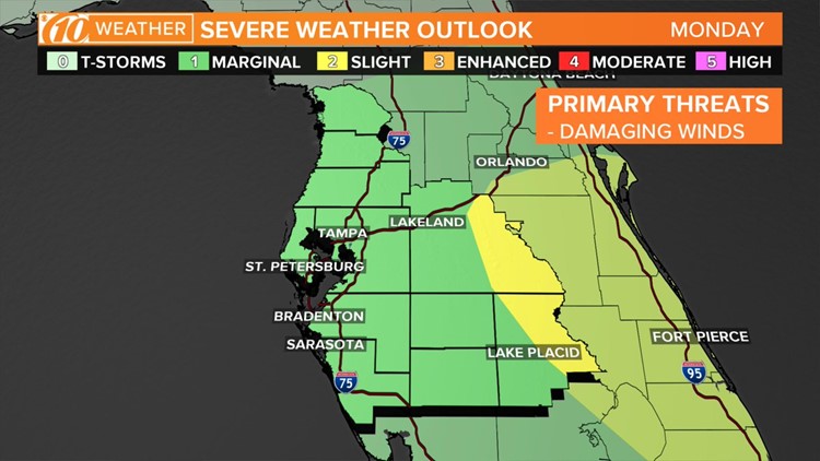
The Storm Prediction Center initially placed Citrus, Hernando, Hillsborough, Pasco, Pinellas and Polk counties under a slight risk of severe thunderstorms. It’s considered a two-out-of-five risk.
That risk has since been lowed to marginal, or one-out-of-five.
The primary threat will be damaging winds within some of the stronger storms. Heavy rain and frequent lightning will be possible. The storms are forecast to move from north to south.
Even outside of the storms, it will still be breezy with wind gusts as high as 25 mph.
Most of Hardee, Manatee and Sarasota counties are under a “marginal risk,” or a one-in-five chance for severe weather. Some storms here could still be a little on the stronger side with gusty winds, heavy rain and frequent lightning possible.
Some lingering storms could impact the evening commute, but there will be a gradual weakening trend into the first part of Monday night.
Full forecast: Click or tap here
What other people are reading right now:
►Make it easy to keep up-to-date with more stories like this. Download the 10News app now.
Have a news tip? Email desk@wtsp.com, or visit our Facebook page or Twitter feed.