
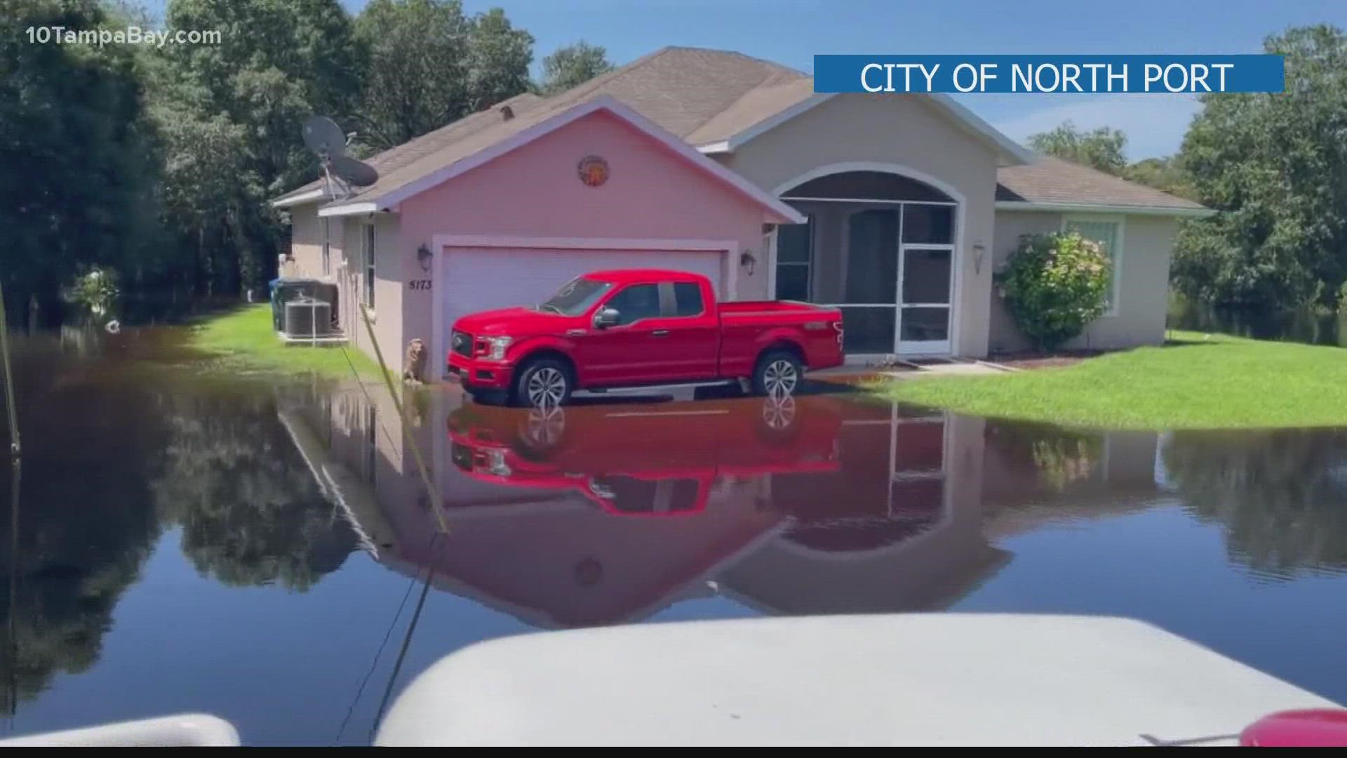
TAMPA, Fla. — More and more Floridians are finding their homes or business are at substantial risk for flooding. Some changes to the National Flood Insurance Program starting Oct. 1st could potentially change what you pay to insure your property - some will pay more while others will pay less.
Here's something else to keep in mind, flood maps assessing your risk are also changing.
FEMA updates those at least every five years, and the maps for many in our community are changing if they haven't already. That includes coastal Hillsborough County.
Realtors like Cyndee Haydon use this information to help buyers make informed decisions about their futures. She's the incoming vice-chair on the insurance committee for the National Association of Realtors. She says FEMA is trying to make NFIP more equitable in the Tampa Bay Area.
"The base elevation that they gauge insurance in the beaches went down by a foot or two. However, they now take into effect storm surge so the inner part of the bay — Oldsmar, Safety Harbor, South St. Pete actually saw their rating go up," Haydon said. "The reality is the private market is going to be more competitive sort of like Citizens. We don’t necessarily want our government insuring all of the risk, let’s spread it around."
Lidar mapping has scanned and helped defined the area's topography. Now instead of FEMA just looking at the risk zone you live in and your property's base elevation, FEMA will look at the value of your home to determine your policy.
According to Haydon, this means 23 percent of property owners will see a decrease of $86 per month on their insurance. Most will see a slight increase up to $10 per month.
The First Street Foundation has identified more properties than FEMA throughout the Tampa Bay area that could see damaged based on current climate data and precipitation maps. The group of scientists put out a report in 2020 that found eight counties in the Bay Area have increased risk.
"Flood is kind of an amorphous thing that unless you’re forced into it, there aren’t really tools to tell you what that risk is. That’s really why we’ve done what we’ve done to calculate risk for every property, so people really know what their risk is and make an informed decision, especially when it comes to something important like flood insurance," Executive Director Matthew Eby said.
The next report will be out in a few weeks.
Click here for First Street’s risk rating for your area, click here for FEMA's risk rating 2.0, so you can learn more about your own risk.