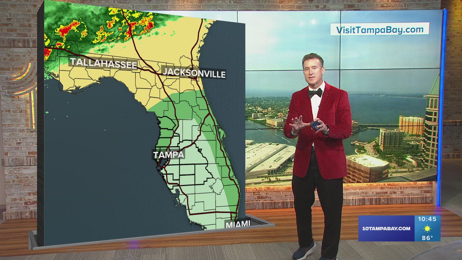
Hurricane Michael has weakened to a tropical storm as it moves through the Southeast, but it continues to produce heavy rain and windy conditions.
The Tampa Bay area will see the trailing effects from Michael on Thursday, in the form of a few scattered showers and storms -- with otherwise mostly cloudy skies. It will also be a little breezy with southwesterly winds from 10-15 mph. This will result in higher than normal tides and the potential for some coastal flooding.
Temperatures today will be in the upper 80s, despite mostly cloudy conditions. The humidity will remain high sending heat indices to near 100 degrees.
Skies will begin clearing Thursday night, but a few clouds will hang around. Look for partly cloudy skies overnight with low temperatures in the middle 70s.
Drier air will continue to move into Tampa Bay out of the northwest on Friday, promoting ample sunshine and slightly cooler temperatures. High temperatures Friday will be in the mid-upper 80s.
The humidity will continue to drop as drier air moves in this the weekend. High temperatures on Saturday and Sunday will be in the mid-upper 80s with only a 20 percent chance of an isolated shower late Sunday afternoon.
10Weather meteorologists on Facebook: Bobby Deskins, Grant Gilmore, Ashley Batey, Ric Kearbey
10Weather meteorologists on Twitter: Bobby Deskins, Grant Gilmore, Ashley Batey, Ric Kearbey
►Make it easy to keep up-to-date with more stories like this. Download the 10News app now.
Have a news tip? Email desk@wtsp.com, or visit our Facebook page or Twitter feed.