CLEARWATER, Fla. — A line of squally weather spurred a meteotsunami on Clearwater Beach earlier this week. A what — a tsunami on the Gulf of Mexico? In Florida?
Let's explain.
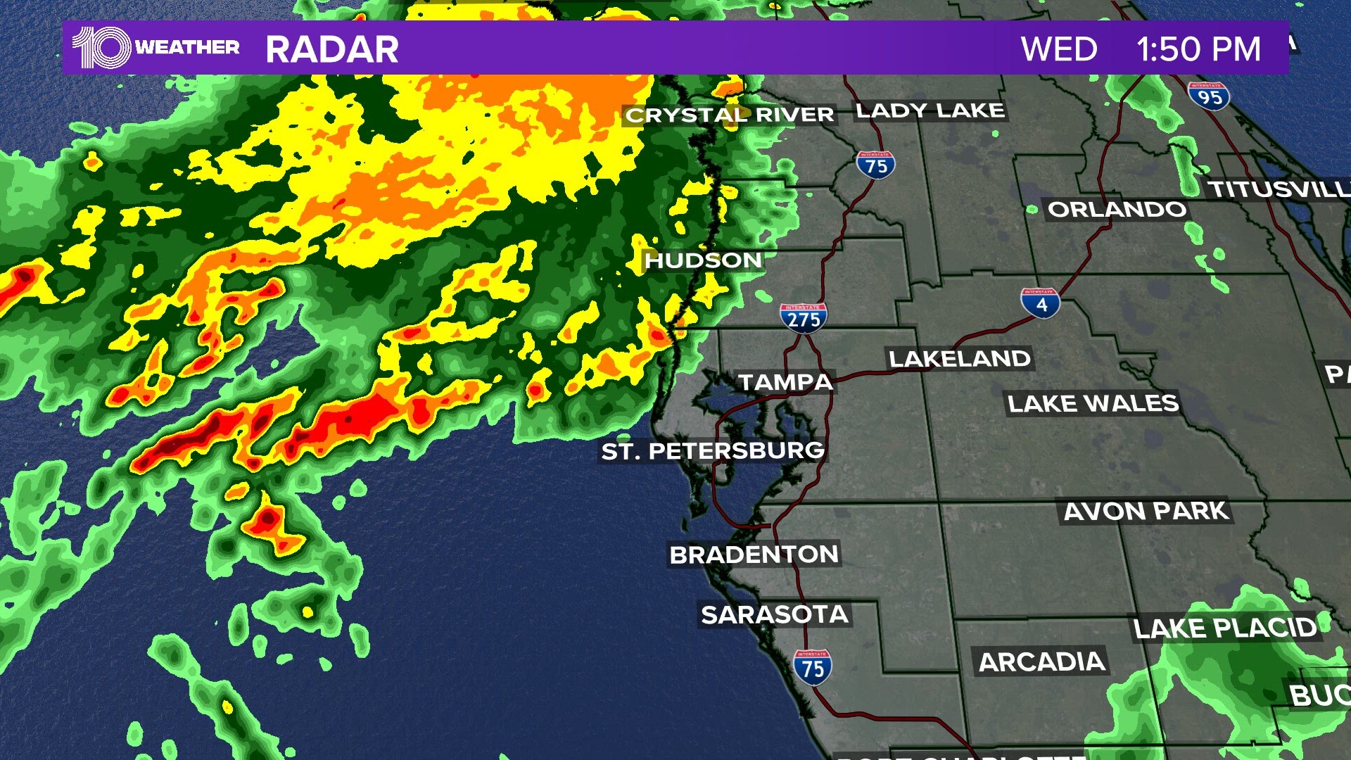
Radar showed a line of showers and storms moving toward the coastline Wednesday afternoon. Weather data just after 1 p.m. noted winds out of the south at 10-15 mph, with gusts pushing 20 mph at times.
But toward 1:45-2 p.m., the squall line, or line of thunderstorms, hit the coast. The atmospheric pressure suddenly increased by a couple of millibars and winds gusted at 40 mph from the west.
The combination of wind speed and pressure rise right on the coastline, as first reported by The Weather Channel meteorologist Ari Salsalari, created what's called a meteotsunami. This is verified by the observed water levels: They ran about 3-4 feet leading up to the squall line hitting the coast — and spiked to about 5.5 feet at 1:48 p.m.
According to the National Oceanic and Atmospheric Administration, "Unlike tsunamis triggered by seismic activity, meteotsunamis are driven by air-pressure disturbances often associated with fast-moving weather events, such as severe thunderstorms, squalls, and other storm fronts. The storm generates a wave that moves towards the shore, and is amplified by a shallow continental shelf and inlet, bay, or other coastal feature."
The Gulf of Mexico is known for its shallow slope, so the combination of weather factors resulting in a meteotsunami occurring along the coastline isn't uncommon.
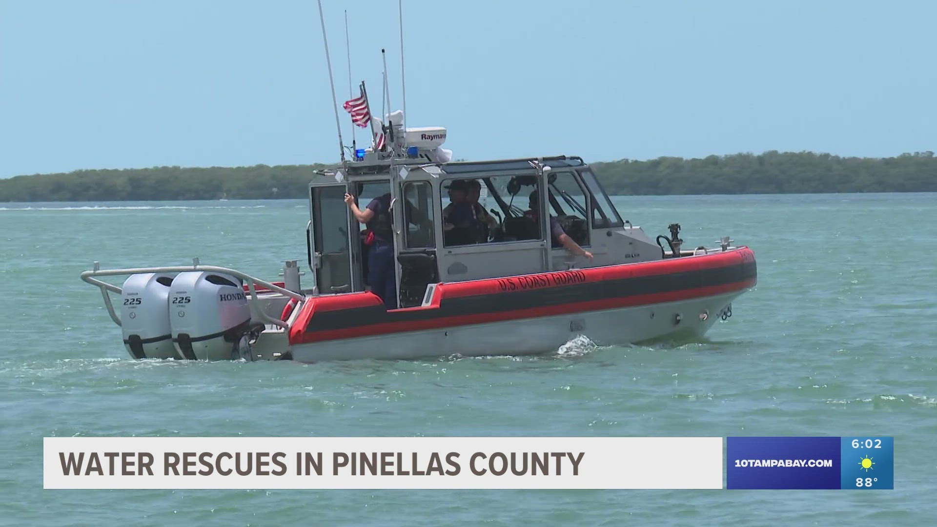
This rapid rise in water can be dangerous to anyone caught in the elements. Thankfully, there were no reports of any injuries or water rescues Wednesday afternoon.