
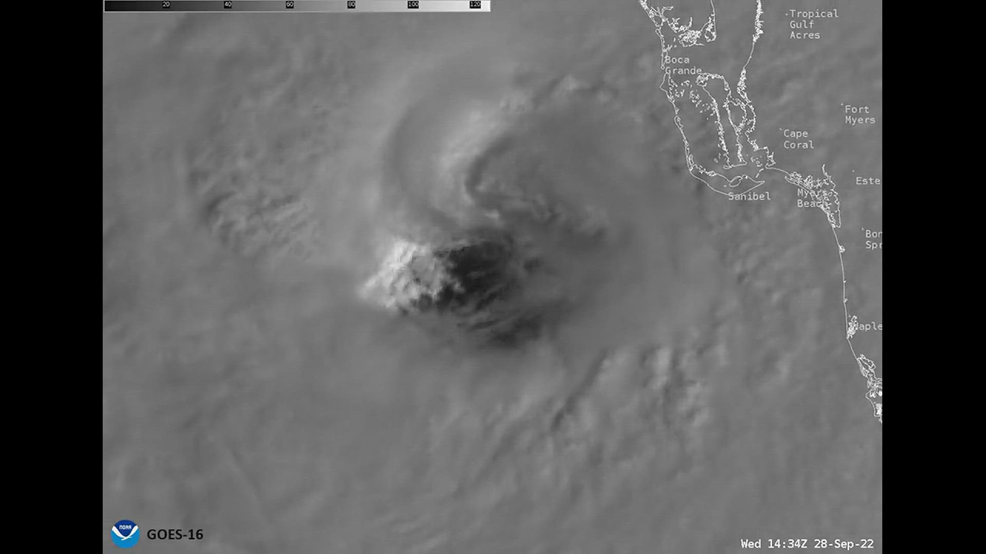
FLORIDA, USA — Hurricane Ian first made landfall just after 3 p.m. Wednesday along the southwestern coast of Florida near Cayo Costa, the National Hurricane Center said.
A dramatic video from the National Oceanic and Atmospheric Administration shows what Ian looked like as it made landfall.
The video is from NOAA's GOES-16 satellite and captured what the hurricane looked like from space when it hit near Cayo Costa.
According to the NHC, when Ian made landfall it was a dangerous Category 4 storm with maximum sustained winds of 150 mph.
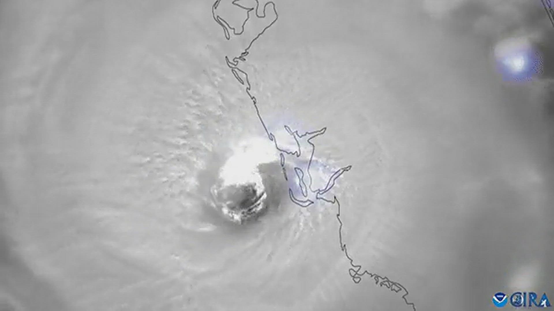
Earlier on Wednesday, NOAA also posted a video of what the inside of the eye looked like as the storm approached Florida.
That video was also taken by the GOES-16 satellite.
The storm is causing catastrophic storm surge, winds and flooding over the Florida peninsula as it made landfall, the NHC said.
Widespread power outages are impacting those in the Tampa Bay area with more than 250,000 reported in Manatee and Sarasota counties. Statewide, more than 1.2 million customers are without power.
The center of Ian is forecast to move over Central Florida on Wednesday night and Thursday morning and emerge over the western Atlantic by late Thursday, the NHC says.
Hurricane and storm surge warnings remain in effect for the Tampa Bay region amid ongoing damaging winds, catastrophic flooding and storm surge.
People along the west coast of Florida and into the Florida Panhandle are urged to monitor the latest forecast and shelter in place until the storm has passed.
10 Tampa Bay is keeping you ahead of the storm: Download our free mobile app for real-time storm information and breaking alerts, and download 10 Tampa Bay+ on your Fire TV or Roku devices to stream live coverage.