
ST. PETERSBURG, Fla. — The National Weather Service found evidence that an EF-0 tornado likely touched down Tuesday afternoon just south of Downtown St. Petersburg.
The possible tornado damaged an apartment roof and sent debris flying near the Barlett Park area of St. Pete.
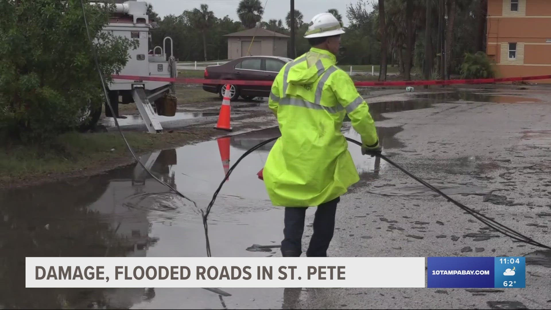
Pinellas County 911 reported the damage just before 4:30 p.m. to the National Weather Service, the agency said. At the scene, roofing material appeared thrown across the parking lot.
An NWS meteorologist surveying the area found damage consistent with a peak wind speed of 82 mph. Evidence shows the "brief" tornado was 10 yards wide, according to the NWS report.
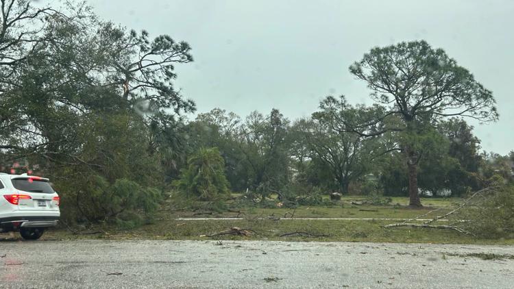
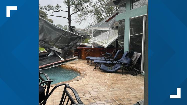
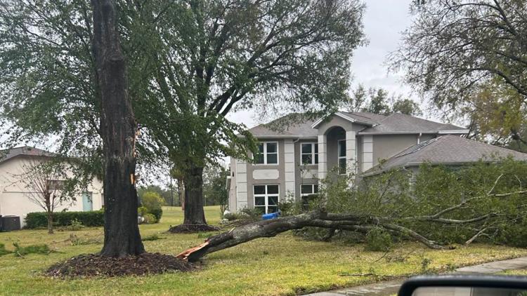
Elsewhere, strong thunderstorms brought down tree branches and tore up a backyard awning Tuesday afternoon in the Eagles neighborhood in northwestern Hillsborough County.
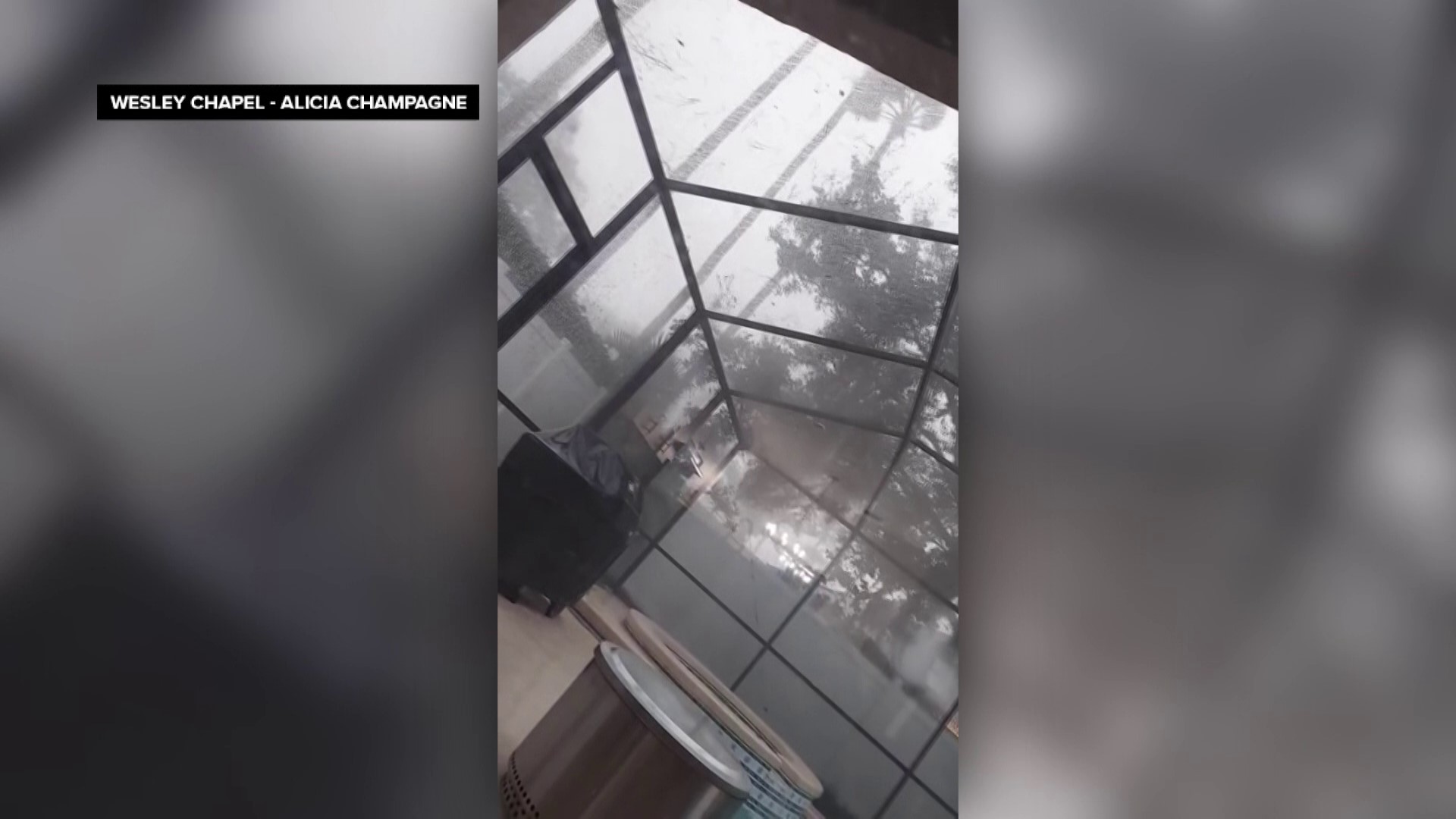
As of this writing, storm damage across the Tampa Bay area appears to be relatively minimal — mostly tree and some property damage. Forecasters warned throughout the day that a gusty squall line could spawn tornadoes and produce wind gusts to 70 mph.
Storm damage in NW Hillsborough County


Still, some areas will need cleaning up in the coming hours and into midweek.
Farther north into Panama City Beach, a suspected twister blew away roofs and sent debris flying. A house appeared titled on its side, leaning on another home.
In Panama City, about 10 miles away, police early Tuesday asked residents to stay indoors and off the roads “unless absolutely necessary” as officers checked on damage from the storms, including downed power lines and trees, The Associated Press reported. Bay County public information officer Valerie Sale said there were scattered reports of significant damage, including to an apartment complex, but no reports of injuries or deaths.
The severe weather threat for the Tampa Bay area will continue to diminish into the evening hours, especially in areas where the line of the strongest severe weather has moved through.
Residents along the Tampa Bay and Gulf coastlines still need to be on watch for the potential for coastal flooding, which could be 2-3 feet in the immediate bay area.