
The third tropical cyclone of the 2019 Atlantic hurricane season has come and gone.
The remnants of Tropical Depression Three have maximum sustained winds of 35 mph at about 60 miles east-southeast of Daytona Beach, according to the National Hurricane Center's 11 a.m. Tuesday advisory.
It could produce heavy rain and gusty winds over parts of the northwest Bahamas, along with showers and thunderstorms over parts of Florida's east coast on Tuesday.
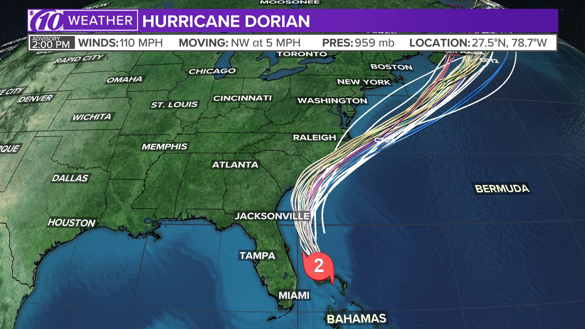
Spaghetti models
Each line represents a computer model's best "guess" of where the center of the storm will go. Together, they look like "spaghetti." Remember, impacts from a tropical system can and do occur miles away from the center.
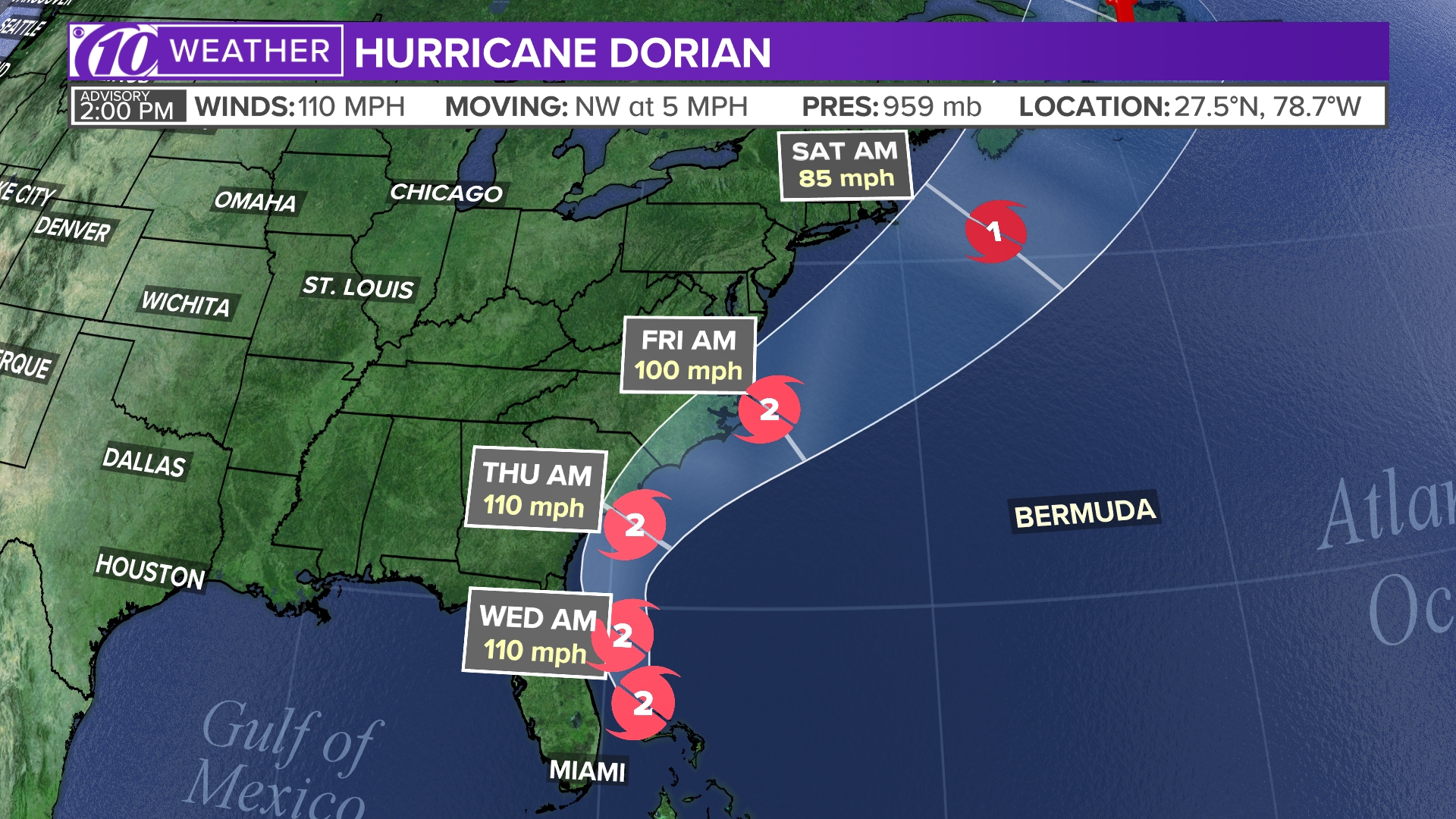
Tropical track
This is the latest "cone of uncertainty," which shows an area where the center of the storm could go, when and how strong it might be at the given time.
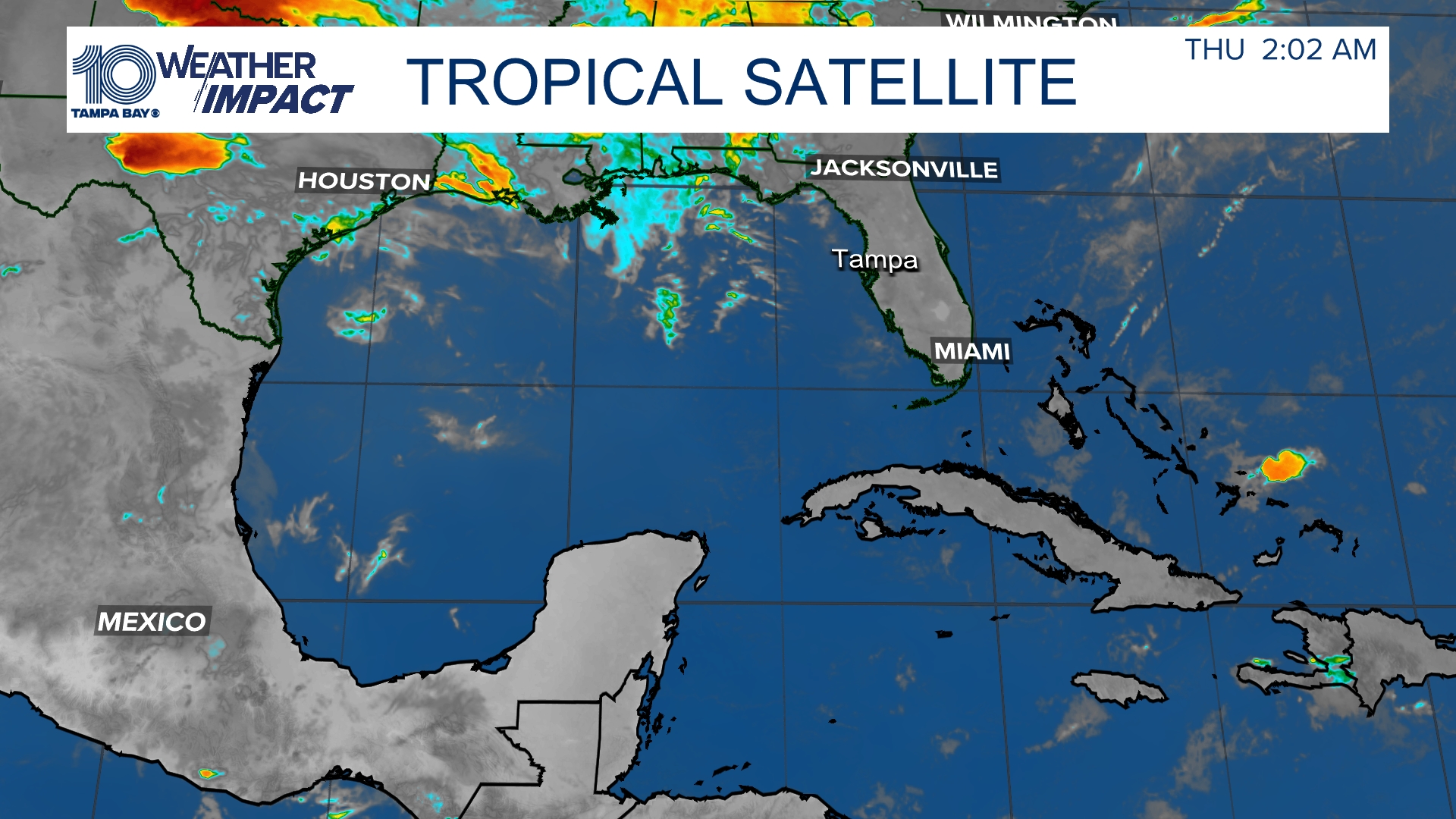
Satellite and radar
The latest satellite and radar image for the Gulf of Mexico, Caribbean Sea and Atlantic Ocean.
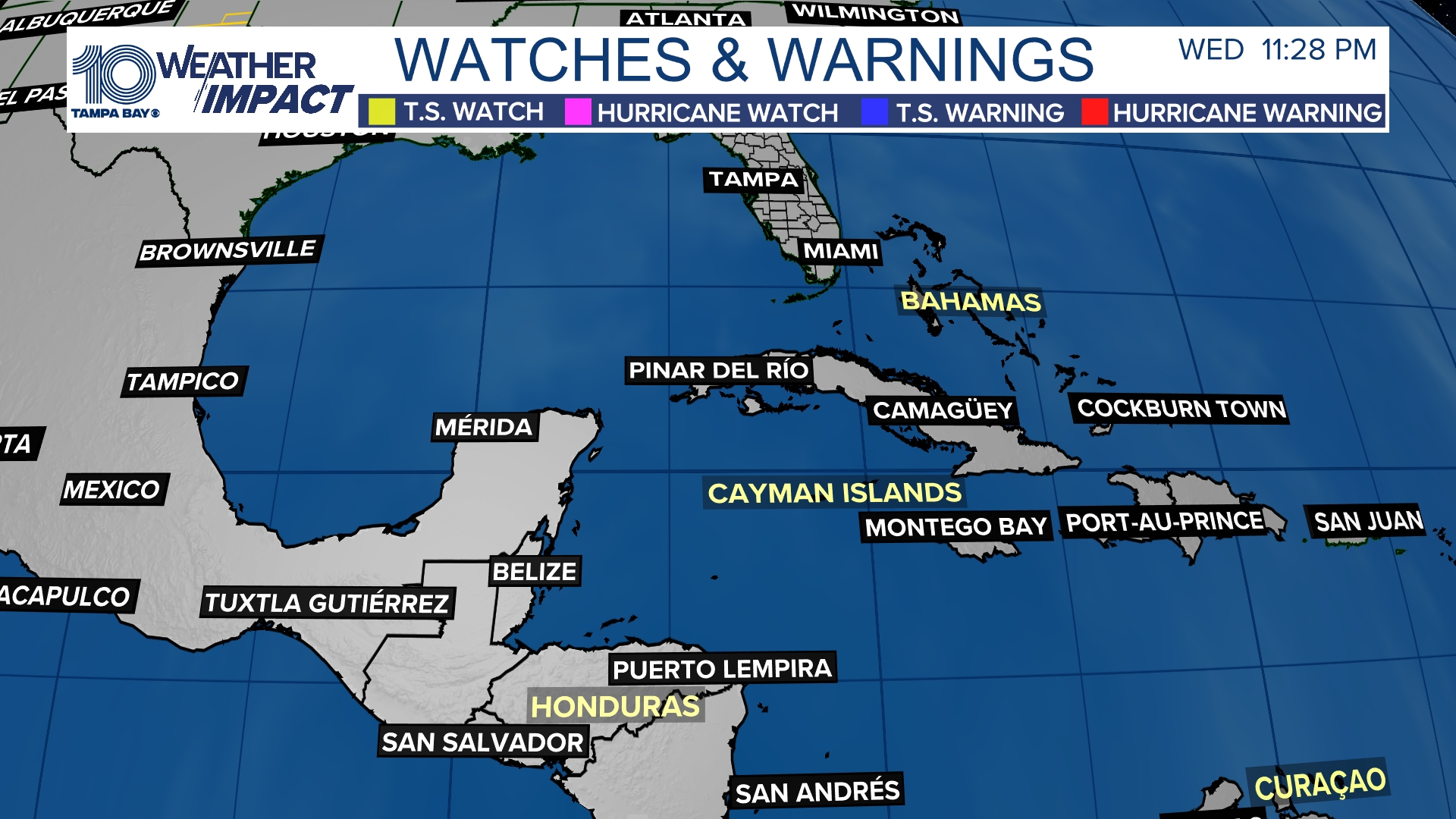
Watches and warnings
What's a watch? What's a warning? Here are the official alerts that can be issued for your area and what you should do.
10News is your Hurricane Headquarters:
- Welcome to Florida! Here’s how to prepare for a hurricane
- Hurricane season 2019: How to check your supplies, evacuation zones, insurance coverage
- What's the difference between a hurricane watch and warning?
- New emergency rules allow for shoulder use during hurricane evacuations
- Tampa Bay most vulnerable to damage, flooding with major hurricane
►Track the weather and get severe alerts when they happen: Download
the 10 News app now.