
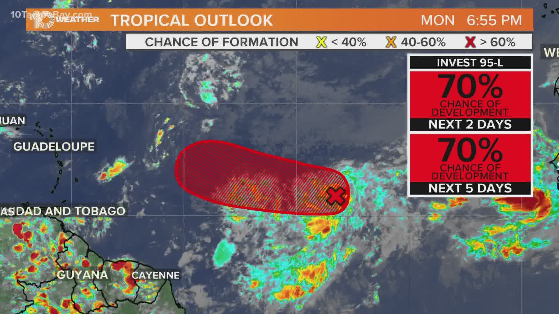
ST. PETERSBURG, Fla. — The latest tropical disturbance being tracked by the National Hurricane Center (NHC) is Invest 95-L.
The disturbed weather is in the middle of the Atlantic just southwest of the Cabo Verde Islands. The NHC gives Invest 95-L a 90-percent chance to develop into a tropical depression or storm within the next 48 hours.
Although this area of storms is becoming more organized, there is some dry air and potential wind shear in its path. Still, it is possible for it to become a tropical depression.
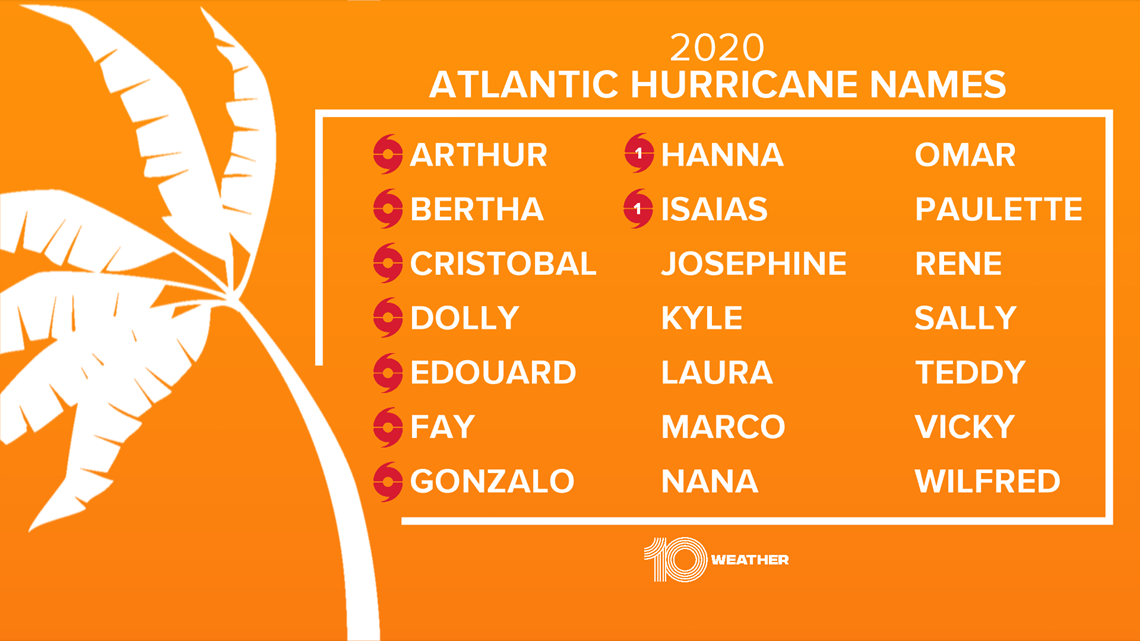
If the storm becomes a named tropical storm, it will become Tropical Storm Josephine. The earliest Atlantic "J" storm on record is Tropical Storm Jose on Aug. 22, 2005.

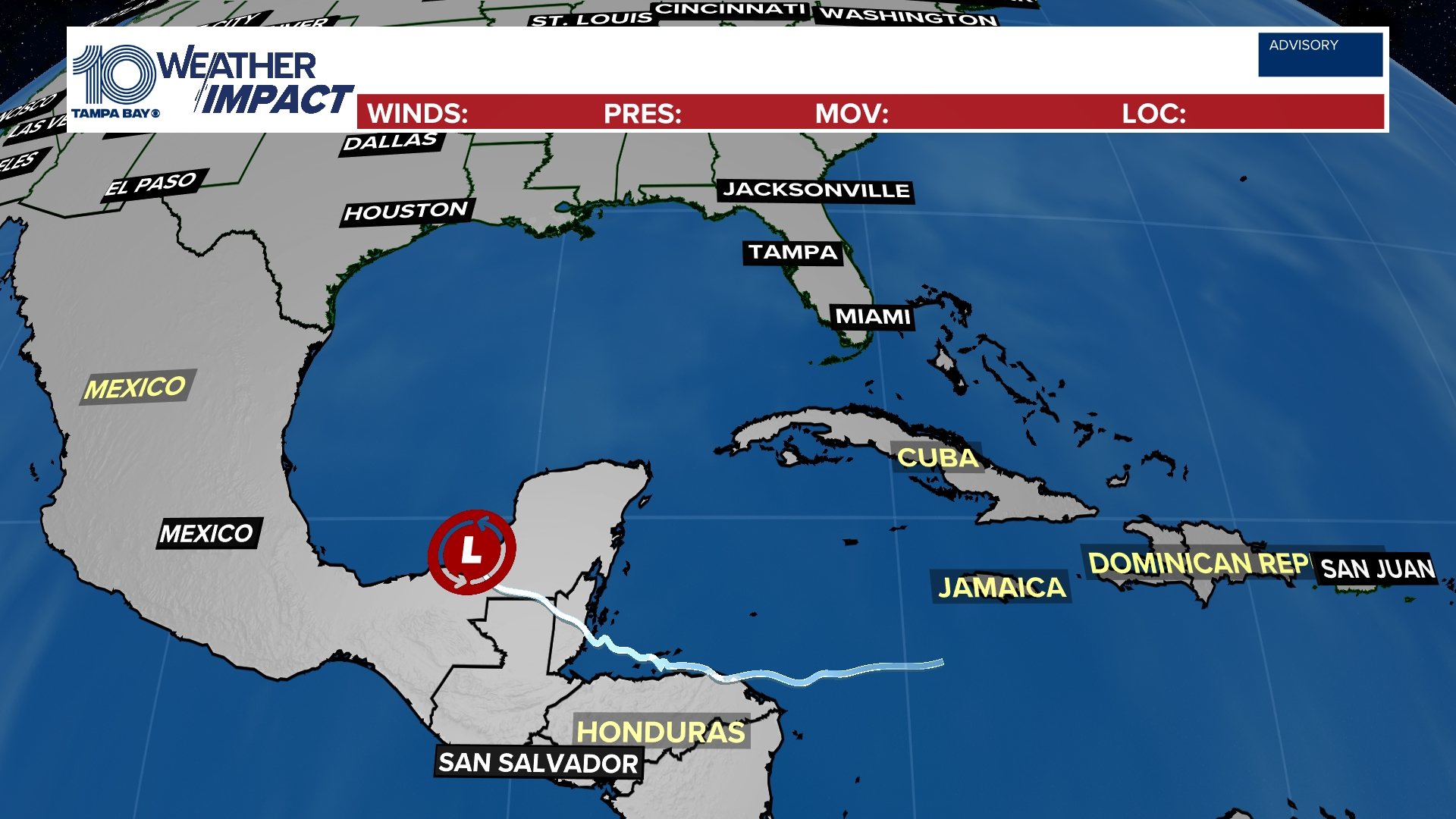
In the longer range, the storm will encounter some wind shear and dry air in a less favorable environment. Model guidance has it moving near the Caribbean this weekend.
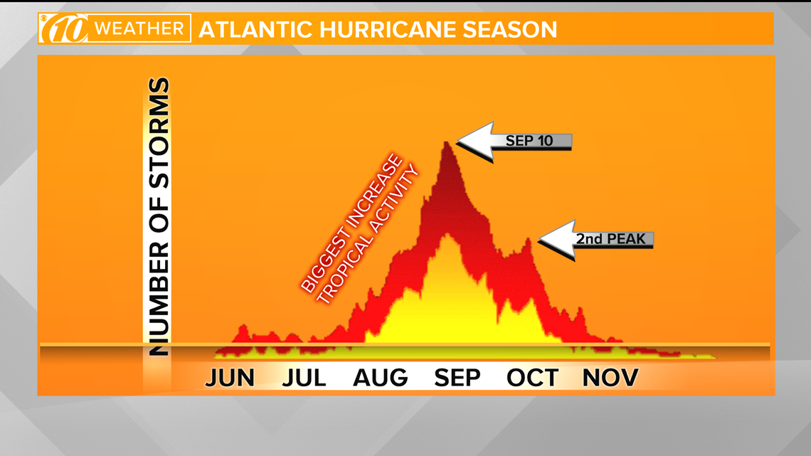
With more waves coming off Africa, things should start heating up in the next week. Next week is also a time when, statistically, the tropics start to get more active. Historically, we typically see our peak storm season in late August, September and October with a statistical peak of Sept. 10.
As we get into late October, we usually see a significant decrease in activity. However, the hurricane season continues until Nov. 30.

For everything you need to prepare for hurricane season, visit the 10 Tampa Bay hurricane page.